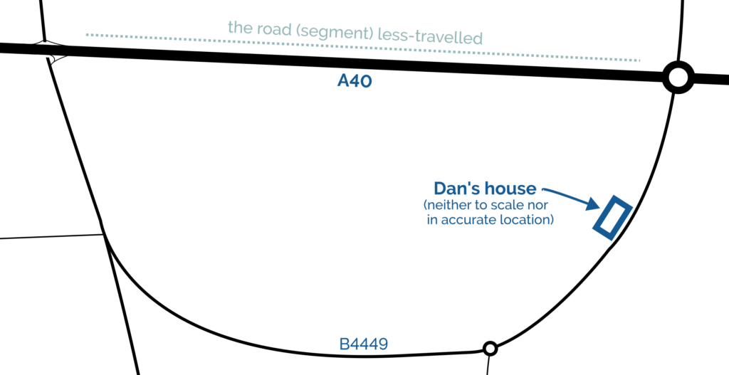
I thought it might be fun to try to map the limits of my geocaching/geohashing. That is, to draw the smallest possible convex polygon that surrounds all of the geocaches I’ve found and geohashpoints I’ve successfully visited.
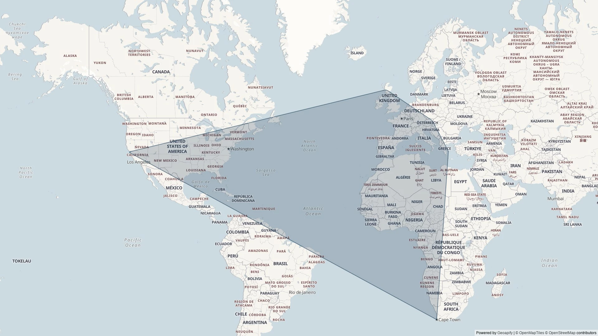
Mathematically, such a shape is a convex hull – the smallest polygon encircling a set of points without concavity. Here’s how I made it:
1. Extract all the longitude/latitude pairs for every successful geocaching find and geohashpoint expedition. I keep them in my blog database, so I was able to use some SQL to fetch them:
SELECT DISTINCT coord_lon.meta_value lon, coord_lat.meta_value lat
FROM wp_posts
LEFT JOIN wp_postmeta expedition_result ON wp_posts.ID = expedition_result.post_id AND expedition_result.meta_key = 'checkin_type'
LEFT JOIN wp_postmeta coord_lat ON wp_posts.ID = coord_lat.post_id AND coord_lat.meta_key = 'checkin_latitude'
LEFT JOIN wp_postmeta coord_lon ON wp_posts.ID = coord_lon.post_id AND coord_lon.meta_key = 'checkin_longitude'
LEFT JOIN wp_term_relationships ON wp_posts.ID = wp_term_relationships.object_id
LEFT JOIN wp_term_taxonomy ON wp_term_relationships.term_taxonomy_id = wp_term_taxonomy.term_taxonomy_id
LEFT JOIN wp_terms ON wp_term_taxonomy.term_id = wp_terms.term_id
WHERE wp_posts.post_type = 'post' AND wp_posts.post_status = 'publish'
AND wp_term_taxonomy.taxonomy = 'kind'
AND wp_terms.slug = 'checkin'
AND expedition_result.meta_value IN ('Found it', 'found', 'coordinates reached', 'Attended');
2. Next, I determine the convex hull of these points. There are an interesting variety of algorithms for this so I adapted the Monotone Chain approach (there are convenient implementations in many languages). The algorithm seems pretty efficient, although that doesn’t matter much to me because I’m caching the results for a fortnight.
3. Finally, I push the hull coordinates into Geoapify, who provide mapping services to me. My full source code is available.
An up-to-date (well, no-more than two weeks outdated) version of the map appears on my geo* stats page. I don’t often get to go caching/hashing outside the bounds already-depicted, but I’m excited to try to find opportunities to push the boundaries outwards as I continue to explore the world!
(I could, I suppose, try to draw a second larger area of places I’ve visited: the difference between the smaller and larger areas would represent all of the opportunities I’d missed to find a hashpoint!)